This page has more details on our operating location for Field Day!
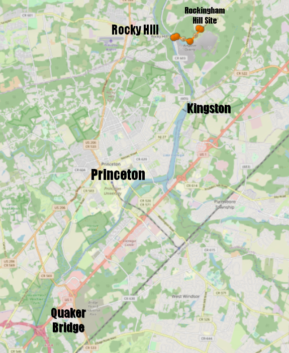
The Location we use for Field Day is called the “Rockingham Site” because it was, for many years, the place where a historic building “Rockingham” sat. Rockingham was George Washington’s headquarters at the very end or the American Revolution.
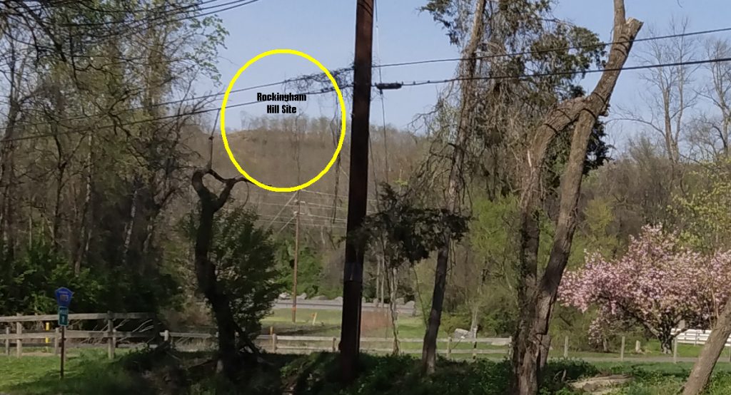
The building has been relocated several times as the quarry activity moved closer. In 1995 the building was on the site where we will be operating Field Day:

In 2001 the building was moved from its perch at the top of the hill to the Kingston-Rocky Hill Road. This leaves the hill-top land for us to use for ham radio. It is owned by Somerset County as open space.
What does the site look like?
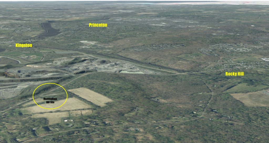
The site is very near Princeton, in Franklin Township, Somerset County, NJ. It is at the top of “Tenmile Run Mountain” a piece of park land which was once the site of “Rockingham”, the house where George Washington made his last wartime headquarters. The site was once a state historic site, but now is county open space. The building has been moved to a new site on Kingston-Rocky Hill Road, about 2 miles from the hill site, by the D&R Canal.
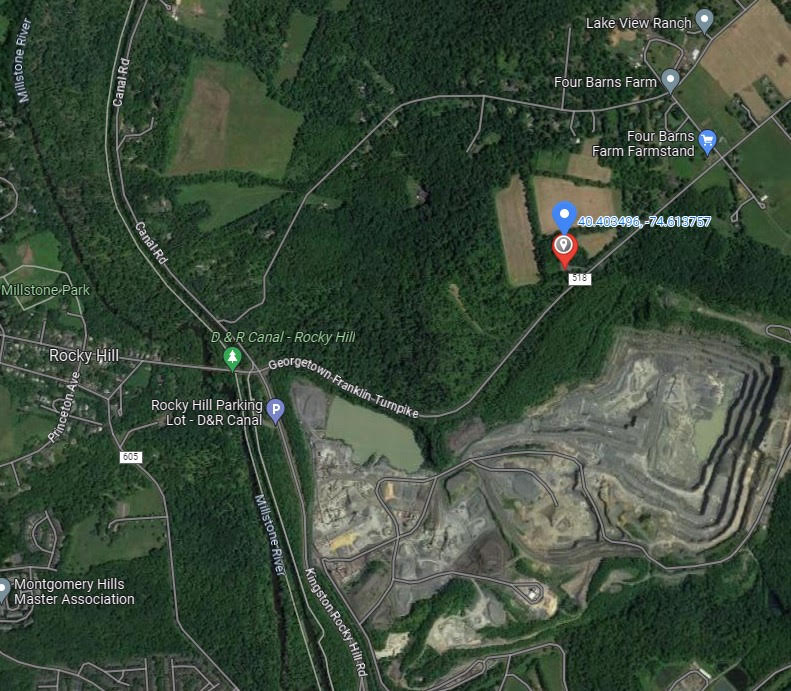
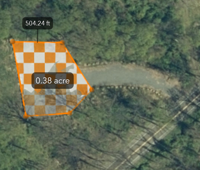
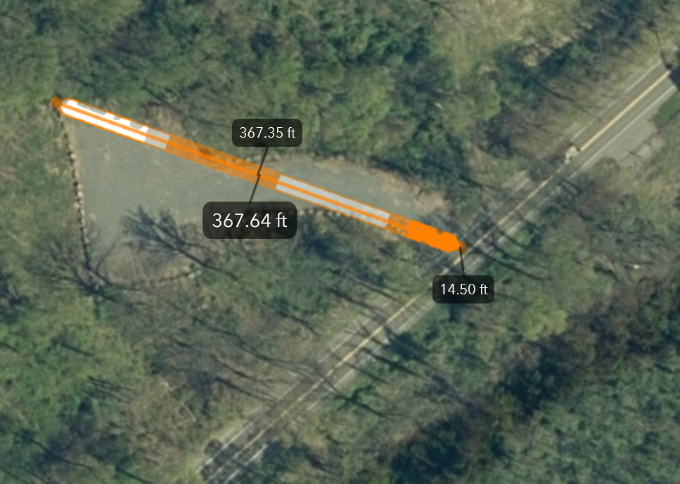
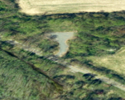
There is a parking lot of about 1/3 acre, with fine gravel, surrounded by open woodland. Elevation is about 300′, about 40′ higher than our Sand Hill repeater location. The land south of the site has been quarried down 200 feet, which may make propagation a bit interesting. Let’s hope it makes our antennas seem higher! There are also two farm fields on the hill. These are used by farmers, and not included in our permit. (Fun fact: Rockingham’s original location was nearby overlooking the entire valley. The building was moved up the hill to allow the quarry to expand. That Revolutionary War era property site is now 200′ above the current surface of the quarry. )
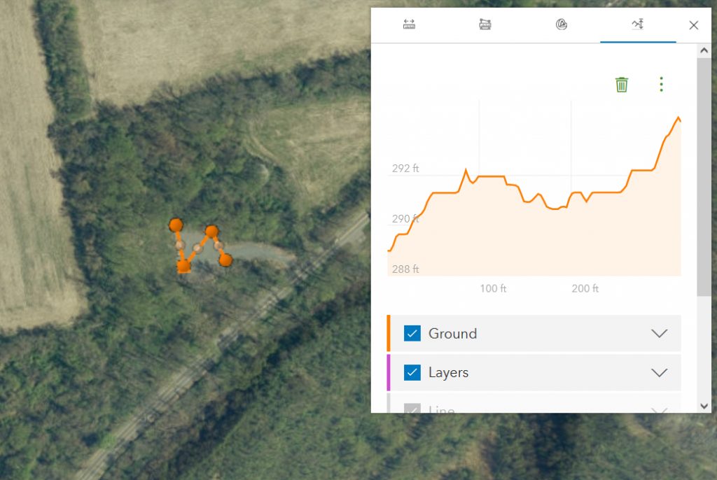
The image above shows that the parking area is 290 feet above sea level. By comparison, the Rocky Hill bridge elevation is about 40 feet above sea level. The hill is about 250 feet high. Drainage is good off the parking area. The driveway up from Route 518 could get runoff in a thunderstorm. (note, it does, as we learned in 2024.)
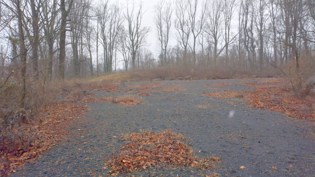
Note that the southern edge of the site gets most of the shade. Setting up tents on the northern edge makes for hot operating locations… bring fans.
The location is wonderful for antennas. Trees are all around. But there are a few concerns:
- We are in open space, so there may be wild animals wandering by.
- There are no rest rooms. We need a reasonable solution to this situation.
- Very thorny Multiflora Rose grows around the parking area. Queen Anne’s Lace, a weed with sap that can cause a rash, also grows on and near the parking lot. Long pants and sleeves, and perhaps boots are needed to erect, adjust and bring down antennas.
- Tick repellent is advised.
- While there is a microwave tower about 0.3 miles away, we may be the highest point around. Lightning could easily strike this high point. Safety procedures are needed for thunderstorms.
- There isn’t much shade in the parking area, we will need tents or tarps. Wind may be a problem too. The south side of the parking area does get some shade, especially the parking area near the Grassy Knoll which has afternoon shade and some wind protection.
- There is ‘some’ poison ivy, but not in the parking area.
So that’s the story of the Rockingham Field Day Site!